PRC-BU 35 Pico Cuerno
Route type
-
 De senderos
-
Difficulty
 Easy
Easy
-
Travel
 ROUNDTRIP
-
Distance
 0.60 km
-
Estimated time
 20 min
-
Signaling
 Yes
Yes
-
Elevation difference
 67.00 m
-
Drop level
 20.00 m
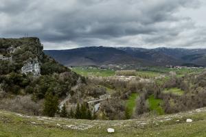
La ruta comienza en "Alto Concha" el corto ascenso termina en el Pico Cuerno desde donde se contempla una excelente panorámica del valle de Sotoscueva.

Map
Gallery
Additional information
Practical information
-
De montañas y cuevas
-
Merindad de Sotoscueva


